Living
royal devenick park
Client Comer Homes
Location Aberdeen, Scotland
Size 16,800sq.m
Status Planning
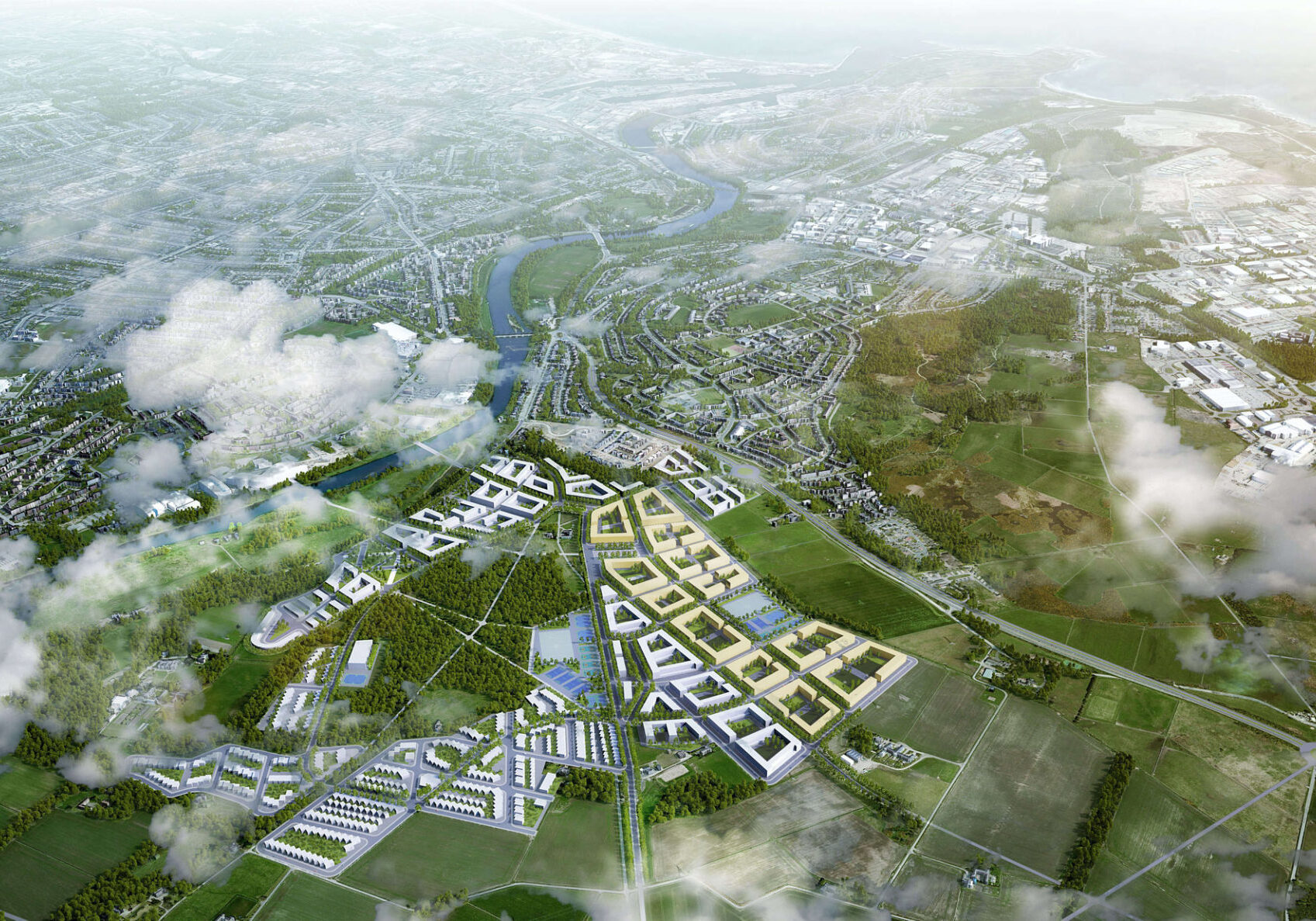
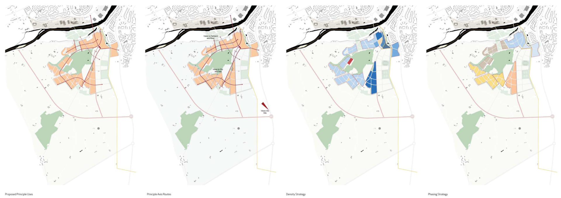
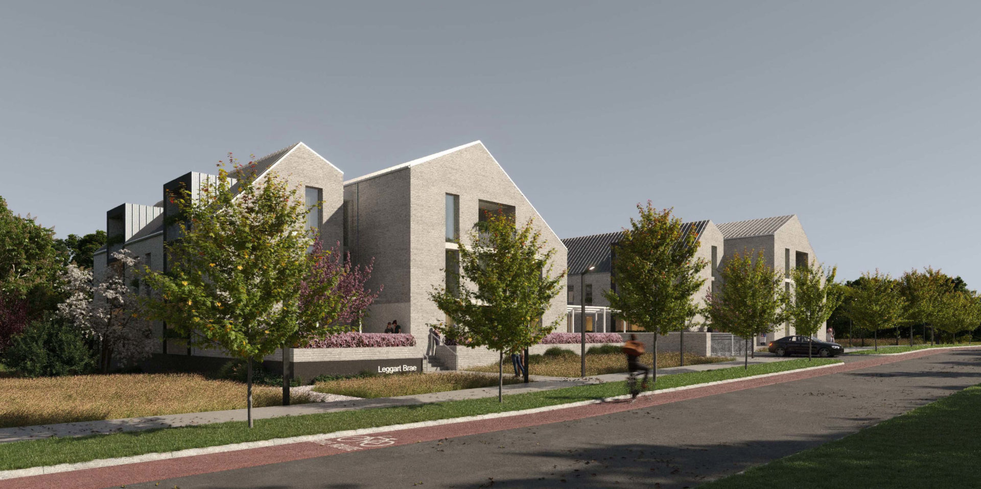
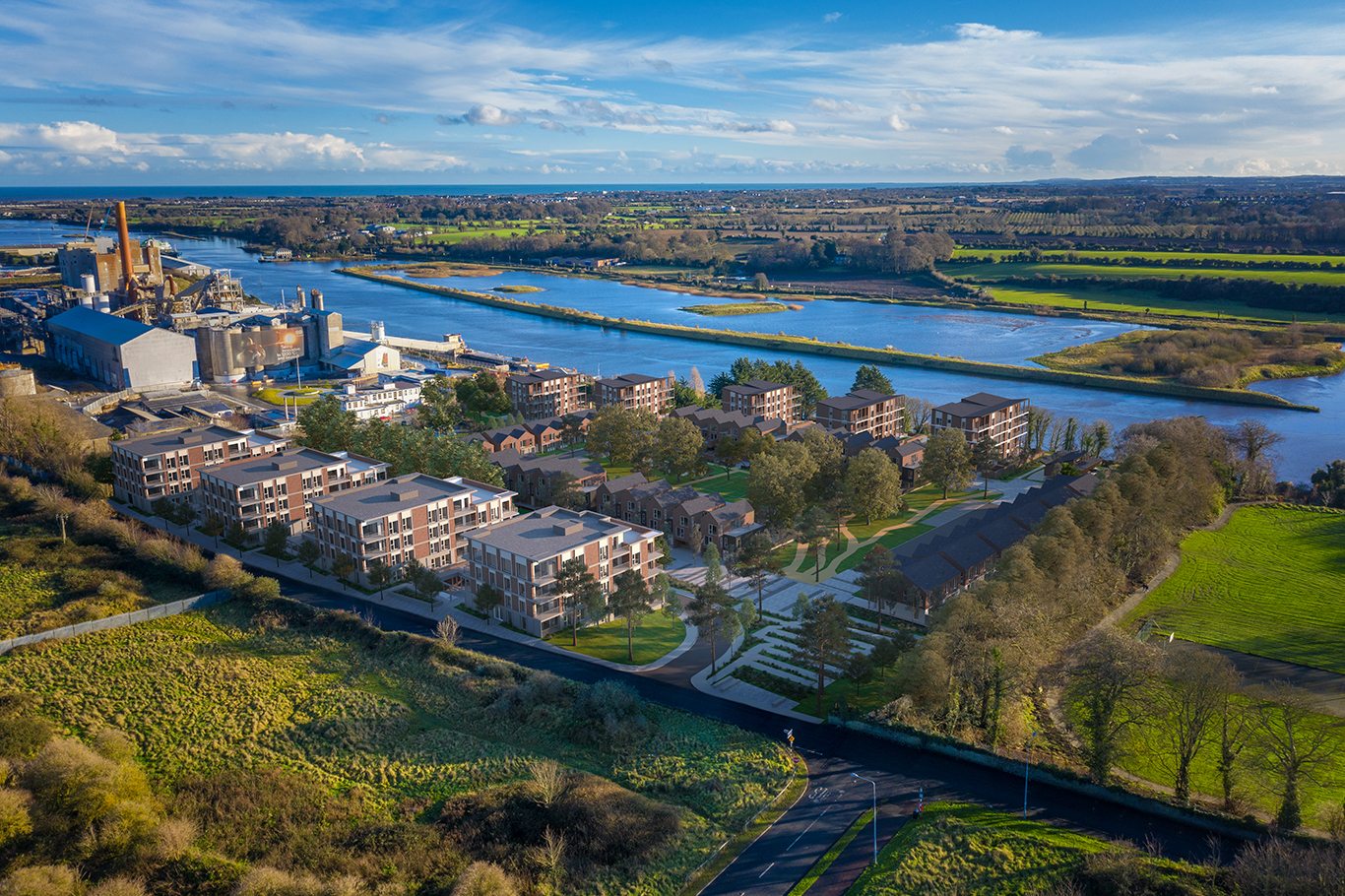
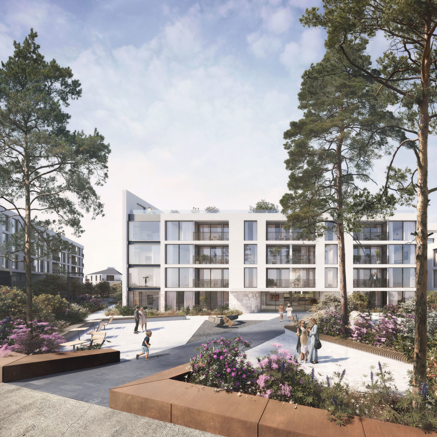
Royal Devenick Park is a residential masterplan that represents the Phase One development of the 460 hectare Banchory Leggart Estate in south-west Aberdeen, Scotland. This phase of the development proposes c.140 residential units in a mix of house types and apartments.
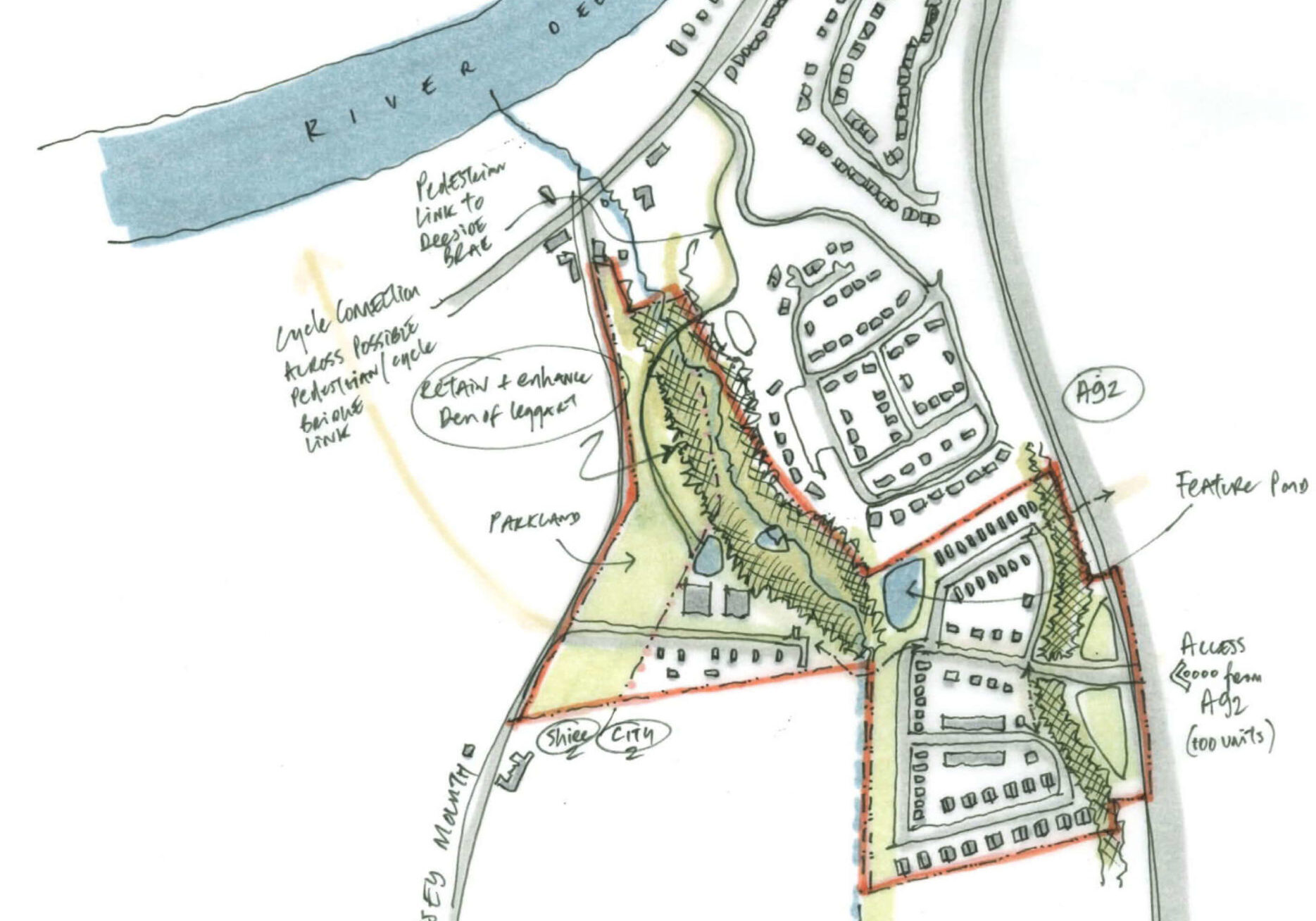
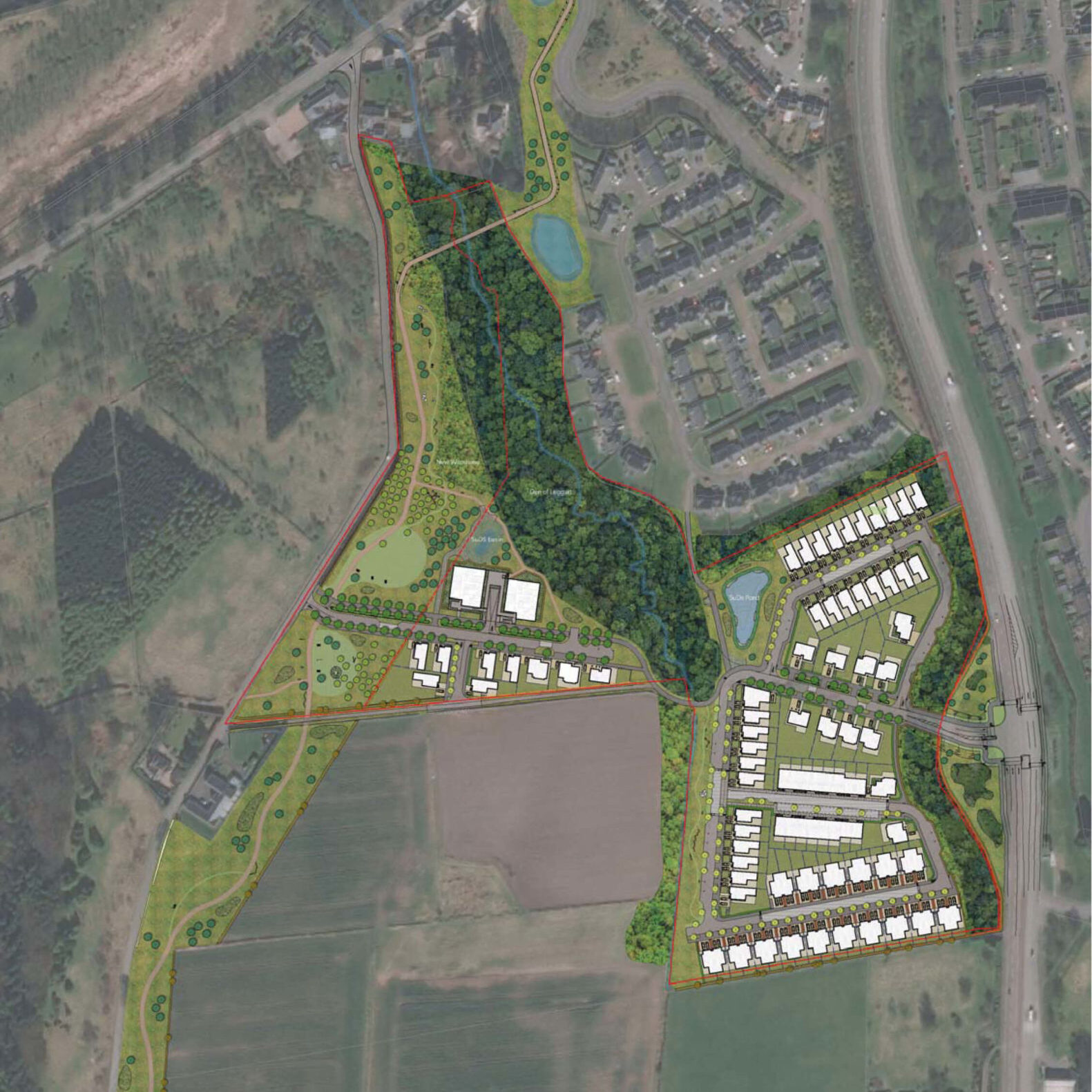
The site is situated at the north-eastern corner of the Banchory Leggart Estate, adjacent to the existing housing at the city fringe. A substantial and attractive woodland, the Den of Leggart, traverses the central north-south axis of the site. To the north of the Den of Leggart an underground watercourse emerges as a tributary stream into the River Dee. This important woodland and ecological feature of the site is protected and enhanced in the masterplan.
Access into the site for vehicles is from two points- the A90 (de-trunked) route to the east and the Causey Mounth Road, a historic routeway to the west. Access into the site for pedestrians and cycle users is a more developed network of permeable through-routes, allowing such users full access options into the Den of Leggart, the Causey Mounth and Tolohill Wood Park. These are important amenity options for the wider community of residents unlocked by opening up the masterplan lands.
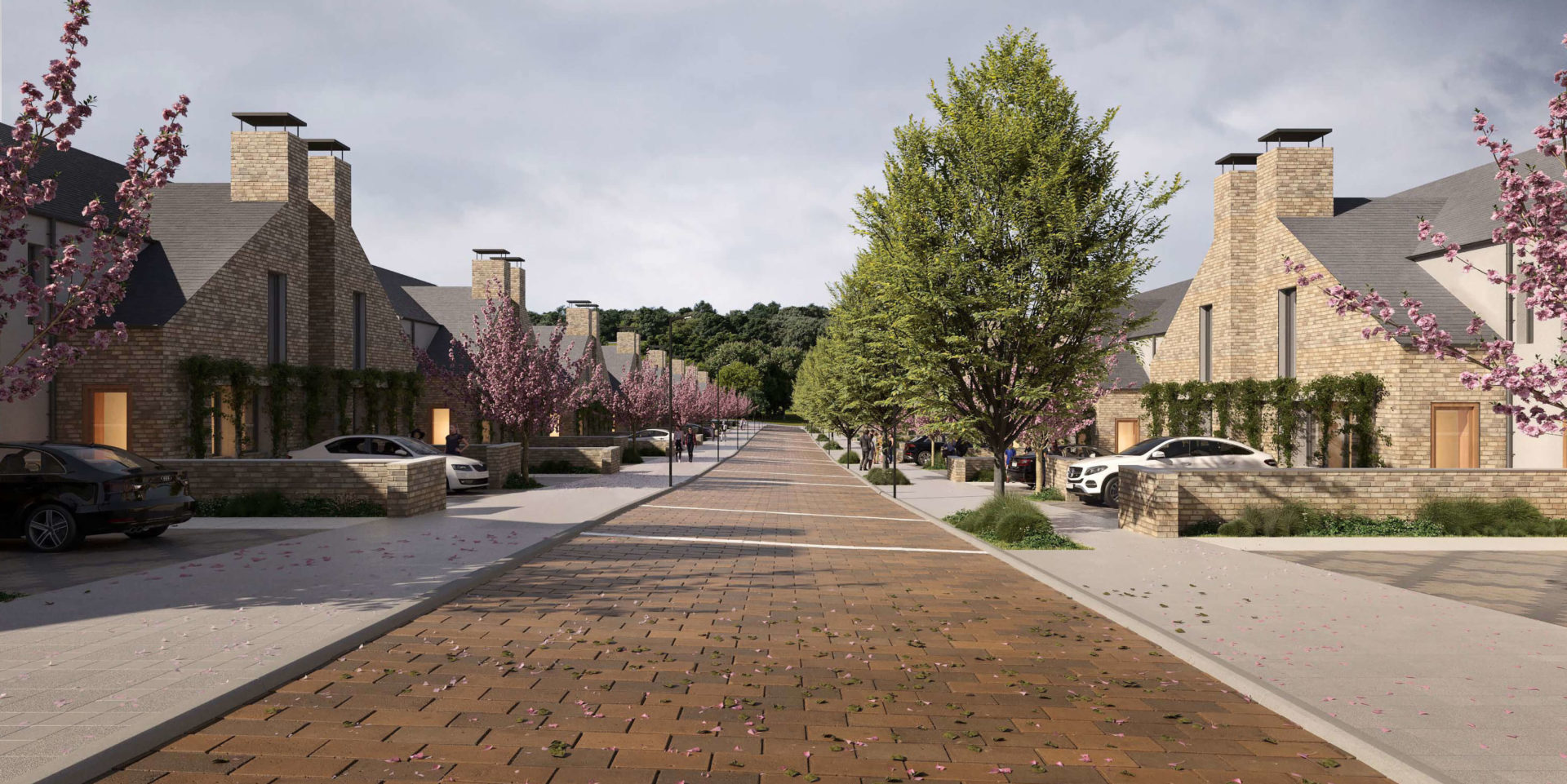
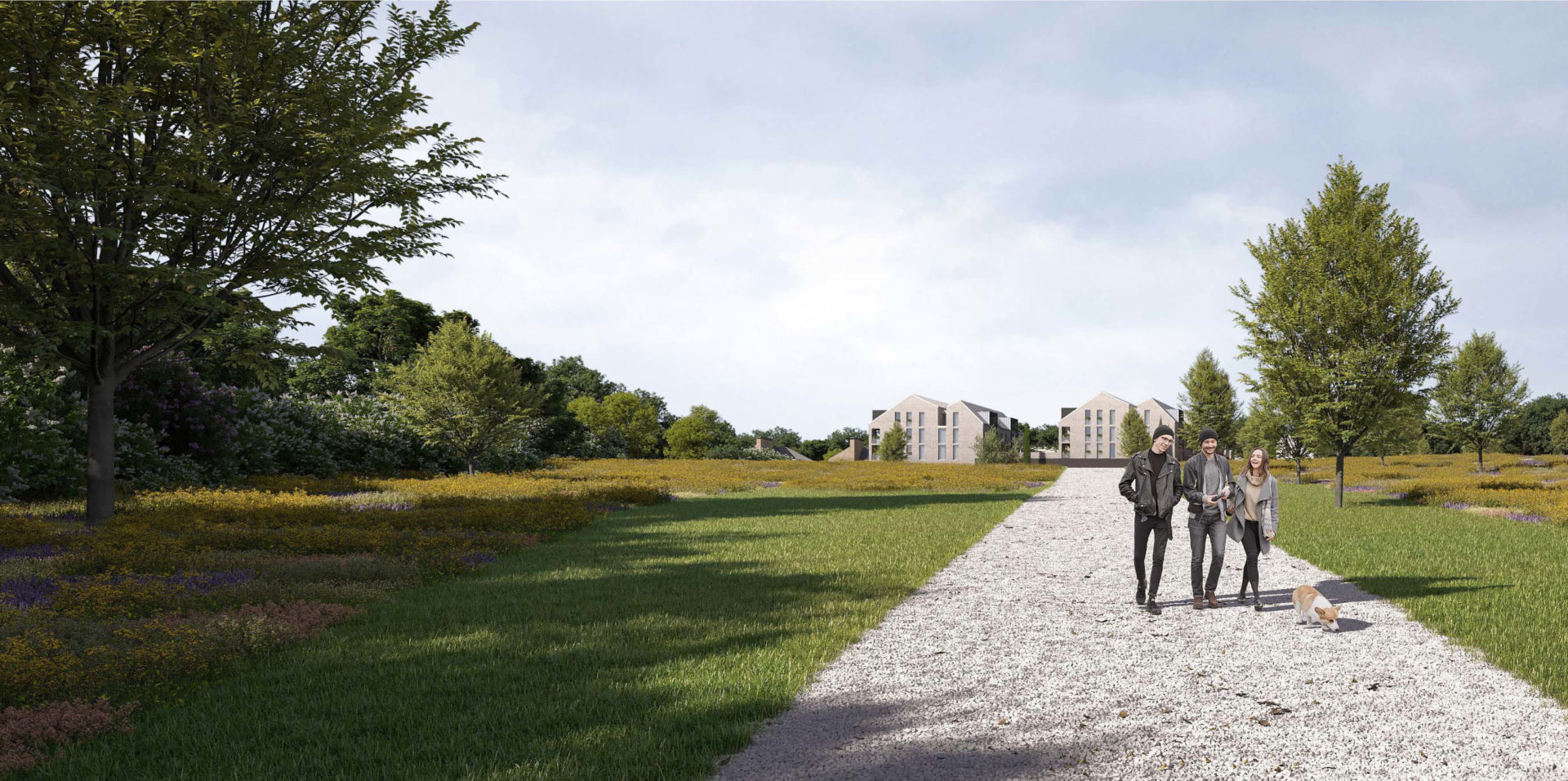
The residential masterplan is a simple layout that sets out a sequence of tree-lined streets, common residents gardens and green spaces. Particular features of the landscape masterplan are management of surface water, strategies for de-prioritization of vehicular users and upgraded facilities for cyclist. A large Parkland is proposed to the west of the site.
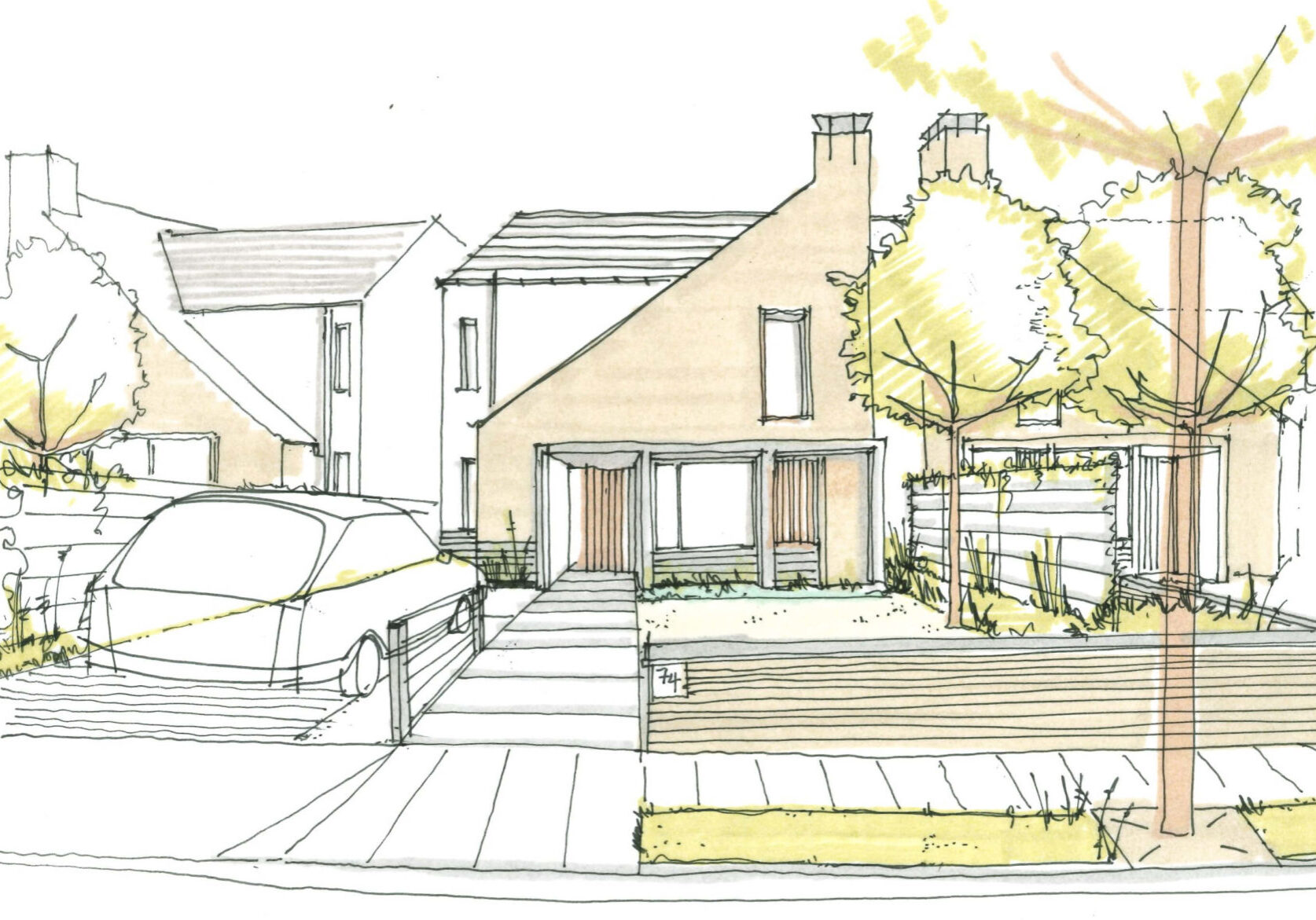
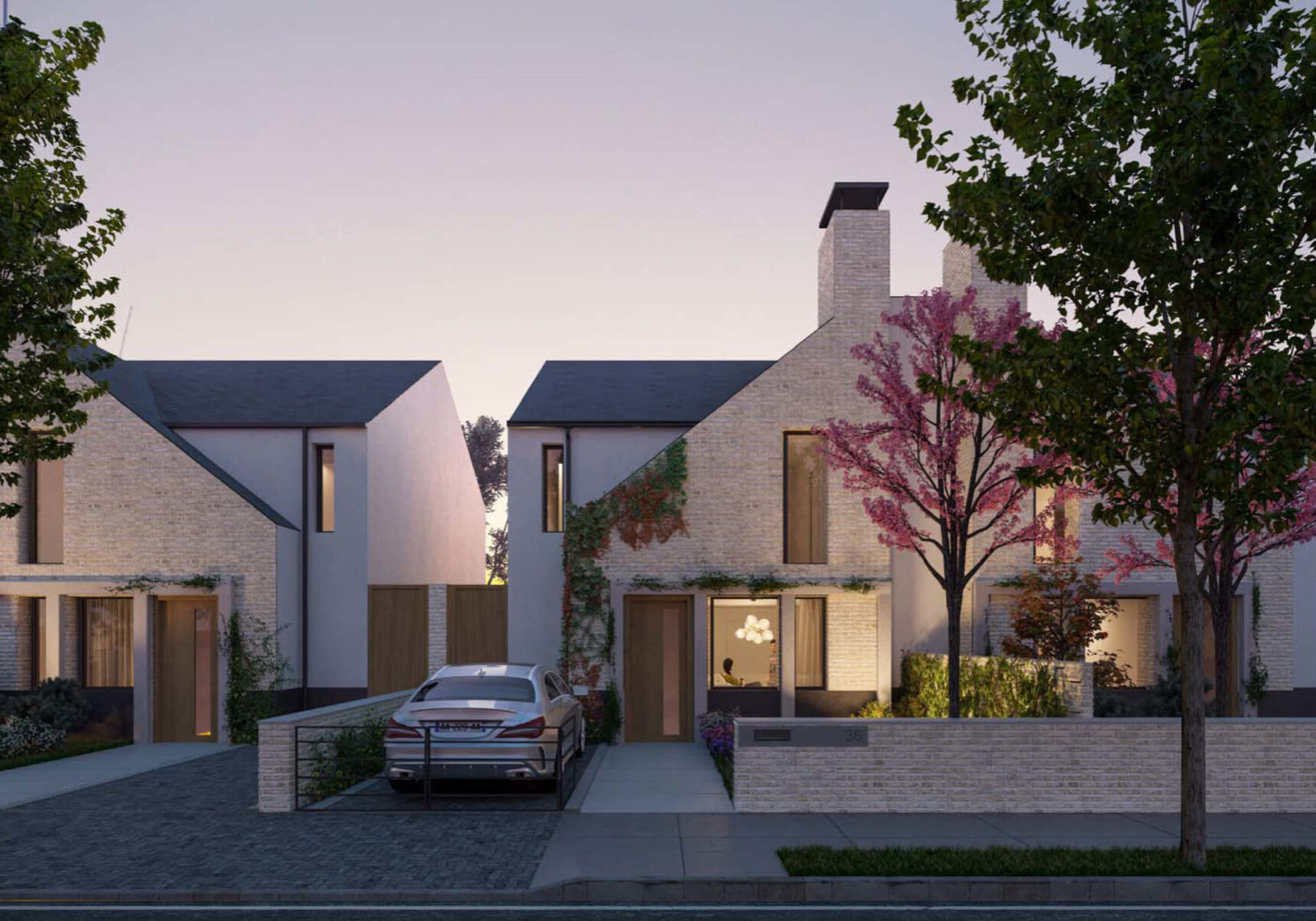
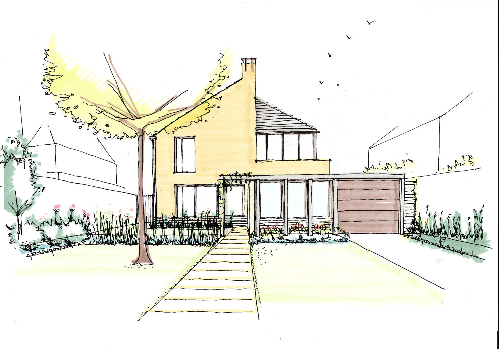
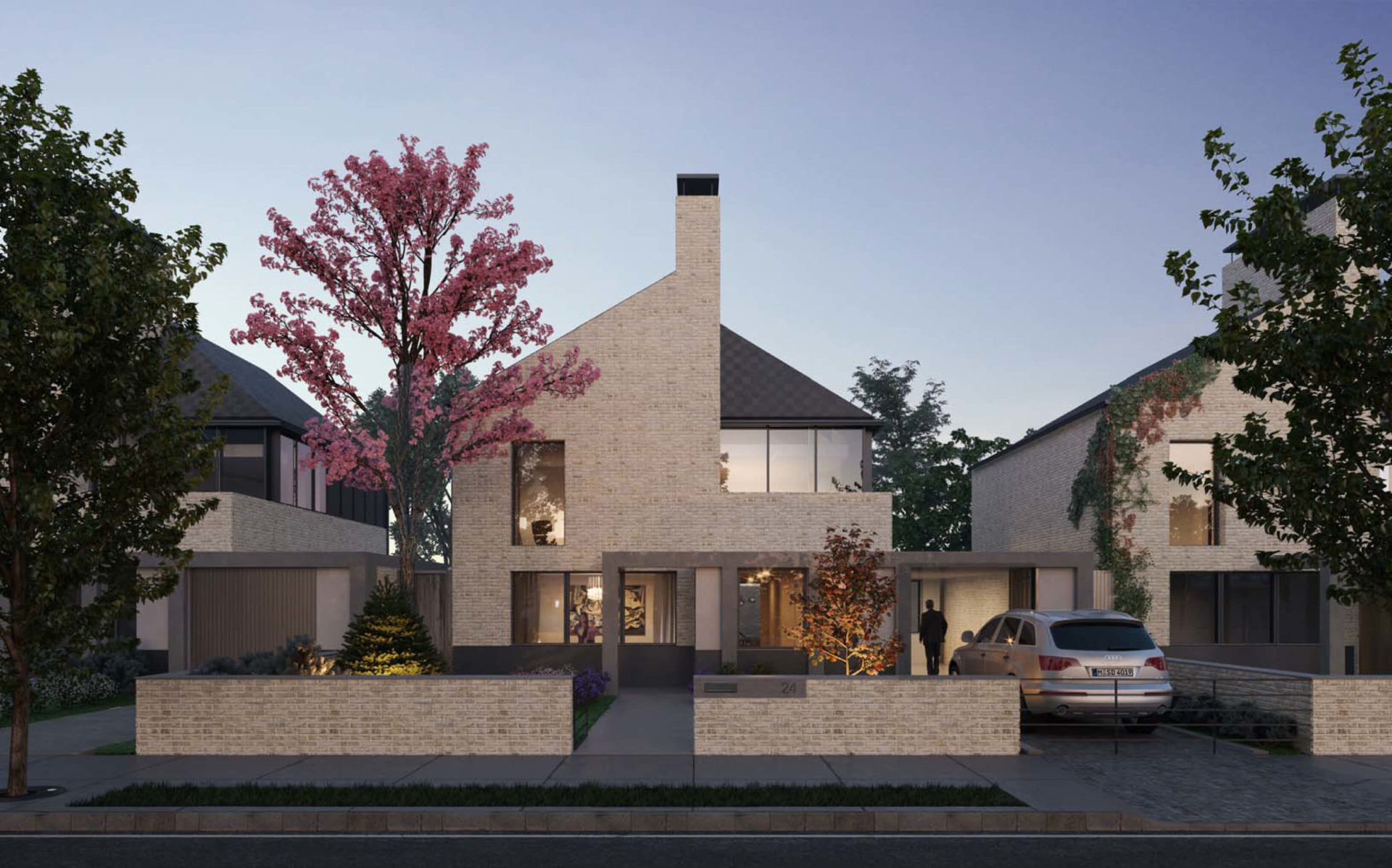
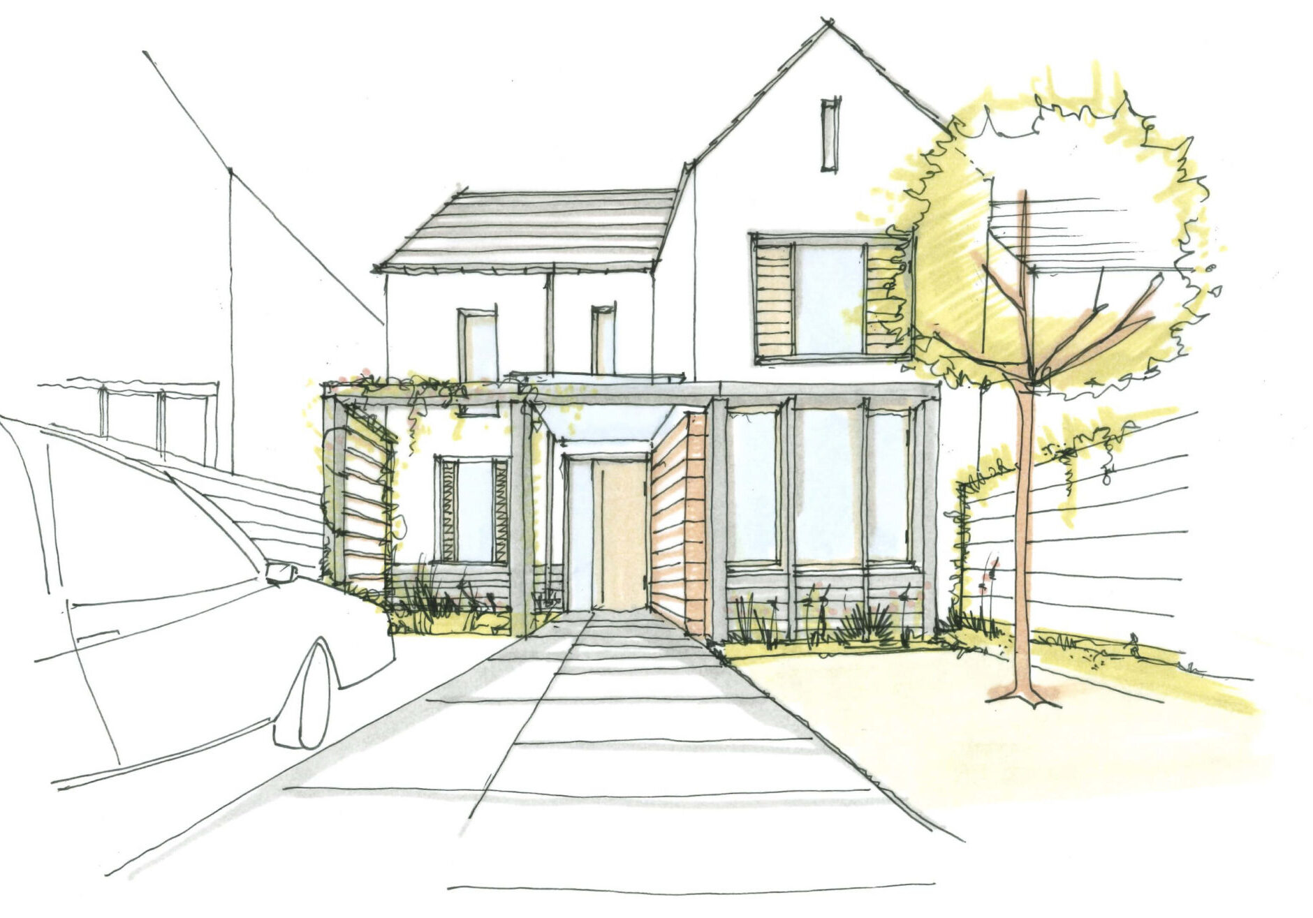
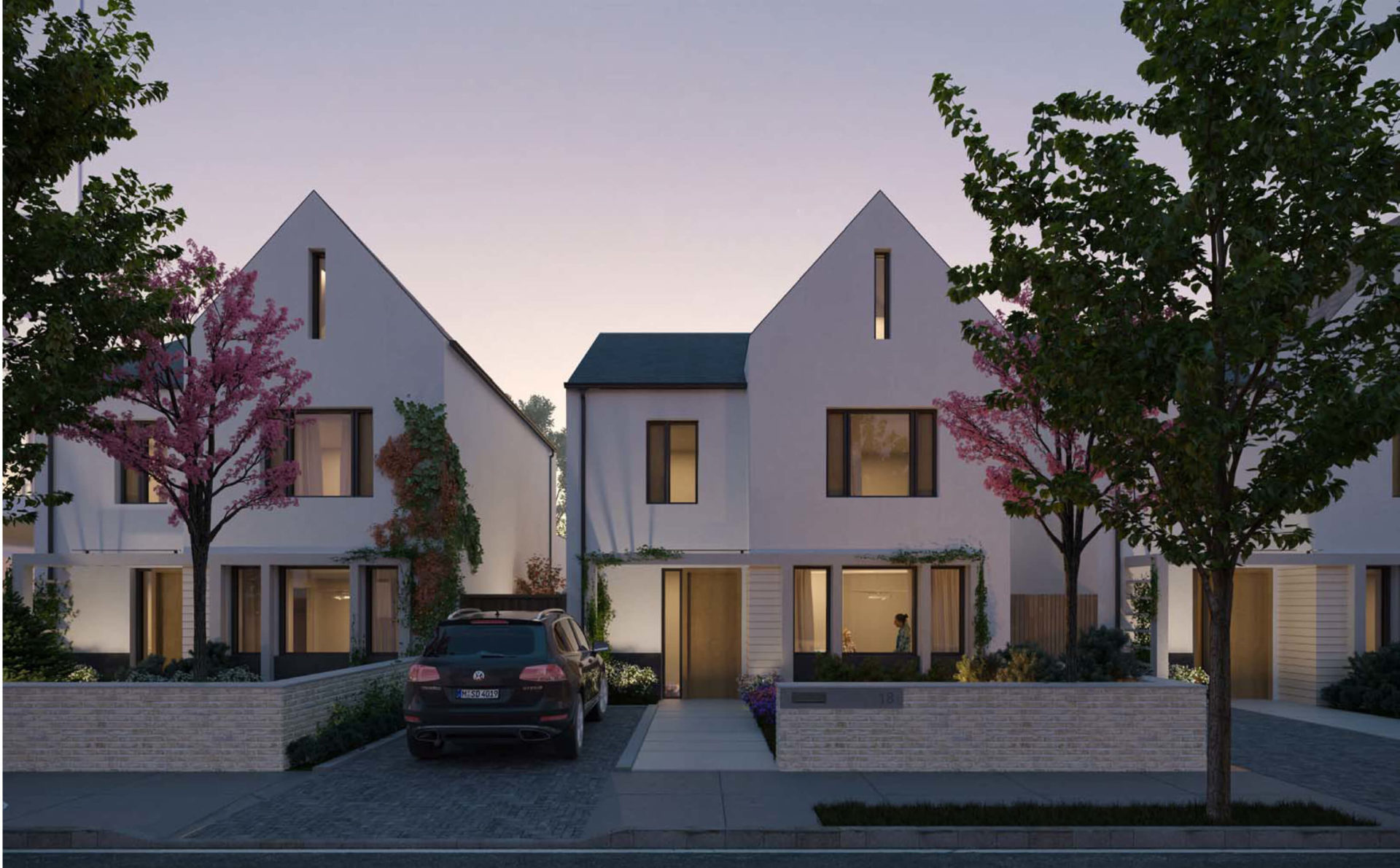
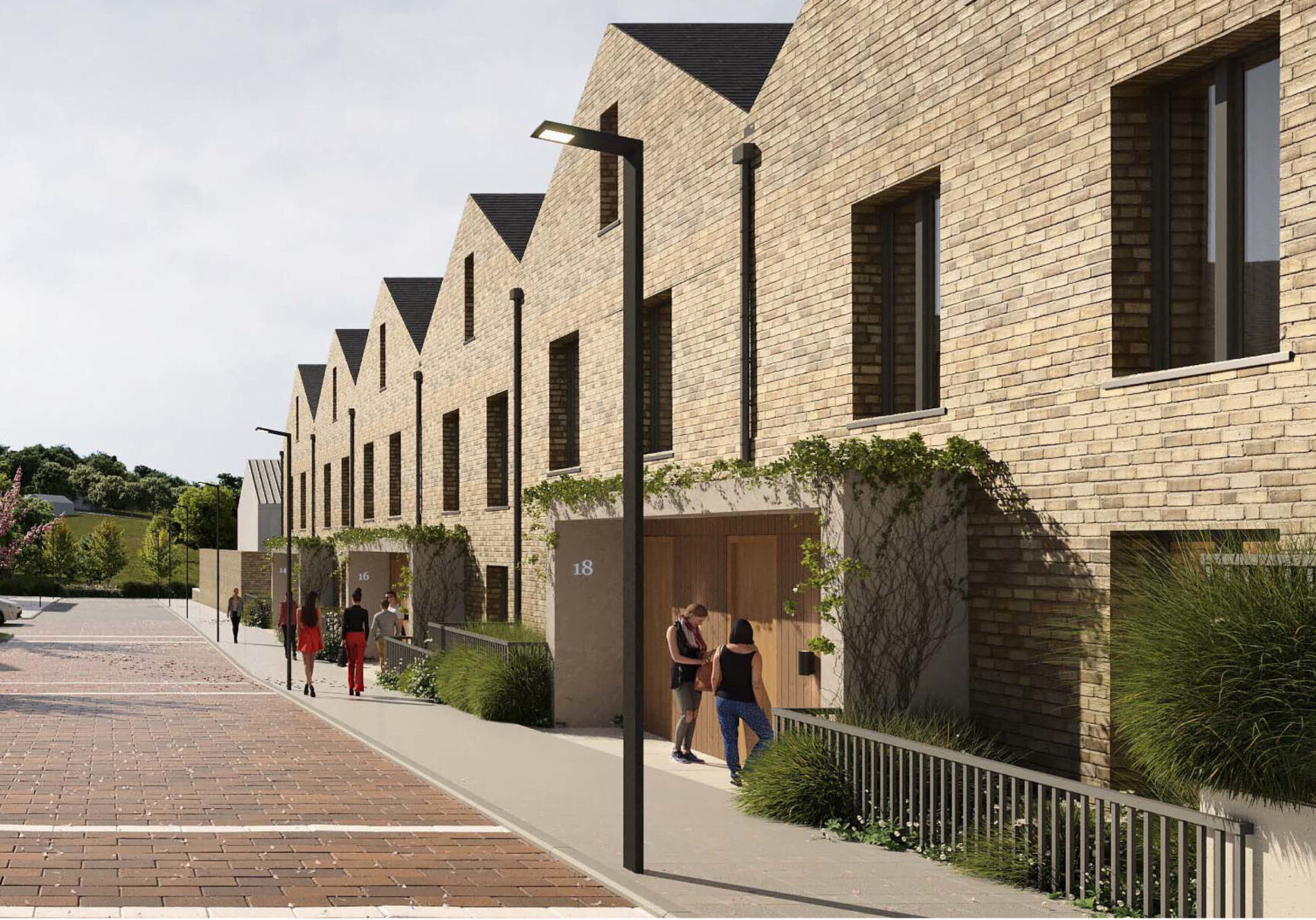
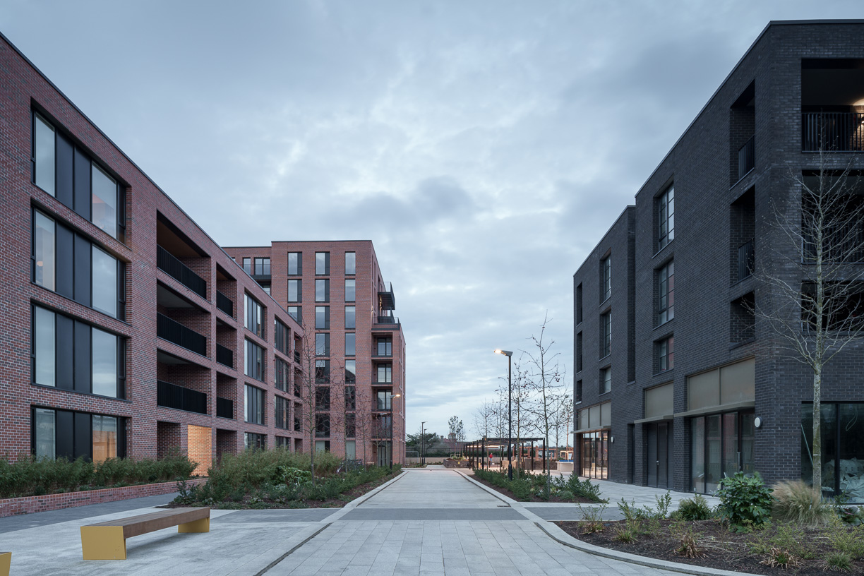
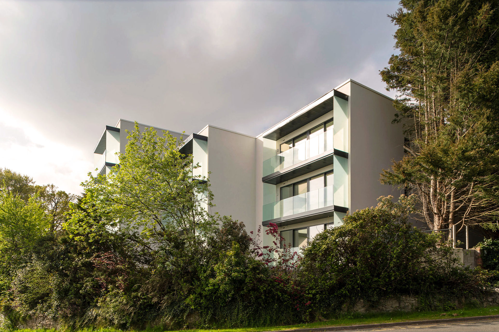
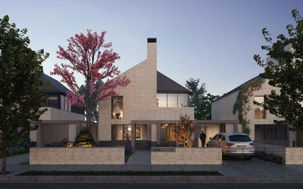
The use of form, material and detail in the masterplan utilises vernacular typologies in a contemporary manner. Material usage employs render and granite, with a lesser amount of clay brick. Roof forms are provided as pitched roofs in slate. The Royal Devenick Park masterplan was lodged to Aberdeen City Council for planning in December 2020.

